Or: Driving through nowhere to get to somewhere.
Author’s Note:
I recently took a trip to Death Valley National Park, which lies on the eastern border of California. I went there ostensibly to do research for a story, but also because I’ve always loved the outdoors and I really wanted to visit. I went with my friend Rose, who lives east of Lancaster, and whose house provided a midway rest point on my drive. (As the dragon flies I live very close to the valley, however we are separated by the highest mountains in the continental United States, so in order to actually get from my house to the park I had to drive south almost to Los Angeles, and then north again, and then (finally) east.)
We stayed at the hotel at Stovepipe Wells for three nights, from Tuesday, February 5th, to Friday, February 8th, and visited most of the places of interest in the northern half of the park. Rather than writing up one monumental report, I’ve chose to share the notes I took during the trip. What follows are my notes from Day One.
The report from Day Two is here, and Day Three here.
Tuesday, February 5th 2013
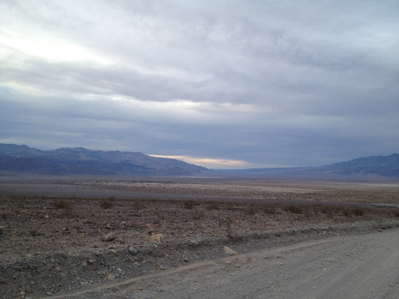
The thing about Death Valley is it is not all empty space; it is filled up around the edges with sharp, spiky mountains; purple and blue when they are in the distance, gold and red when up close.
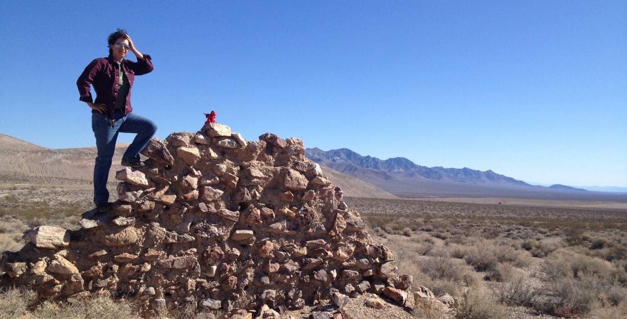
I know this, because I got to drive through many of those mountains to get here.
At first it was all space. The high desert north of Mojave, with sandstone cliffs and miles and miles and miles of tumbleweed-strewn plain, dotted with Joshua Trees. We drove through that landscape for two and a half hours before we even saw our first sign for Death Valley. From there we cut across the southern edge of some salt flats, with the snow-capped Sierra mountains marching away north of us.
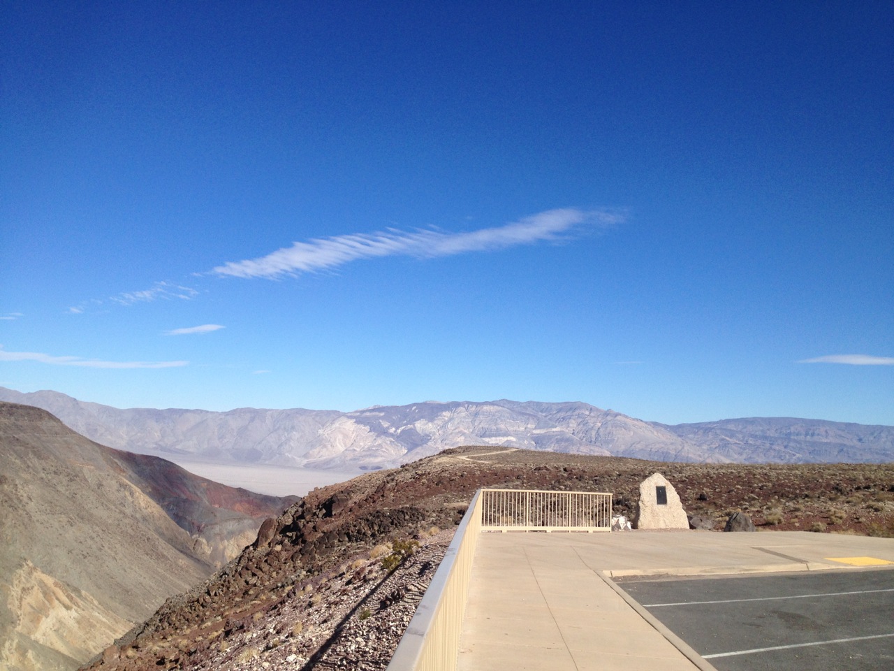
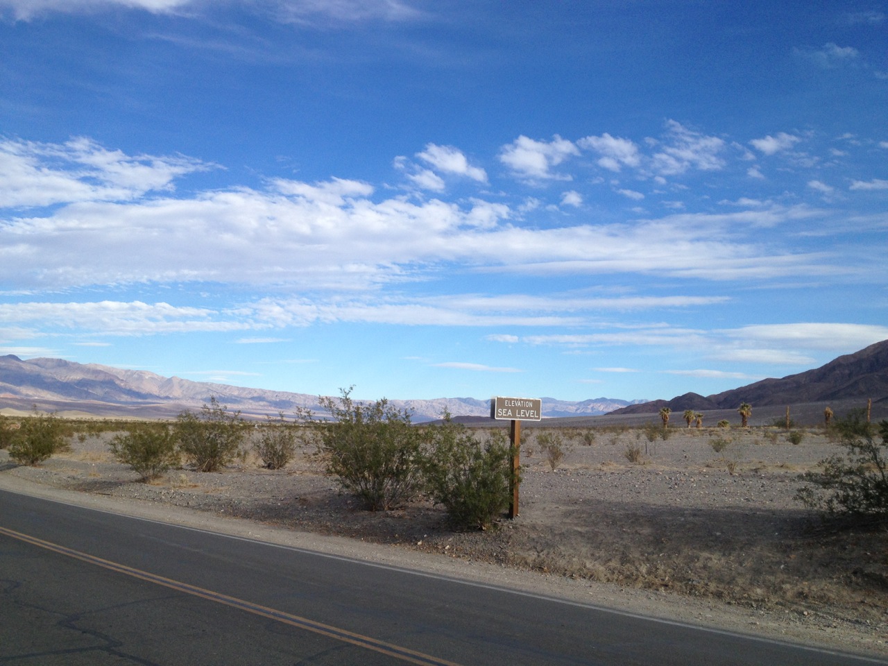
There is a lot of uphill to get to Death Valley. Up, up, gently up the sloping rise… then down, down tight, twisty roads, across the narrow valley floor, and then up again. The final stretch winds its way through the mountains that border Death Valley’s western side, up, over, and finally down, down, down. Down from nearly five-thousand feet, to sea level. I know, because there is a sign that says so about fifty yards down the road from here.
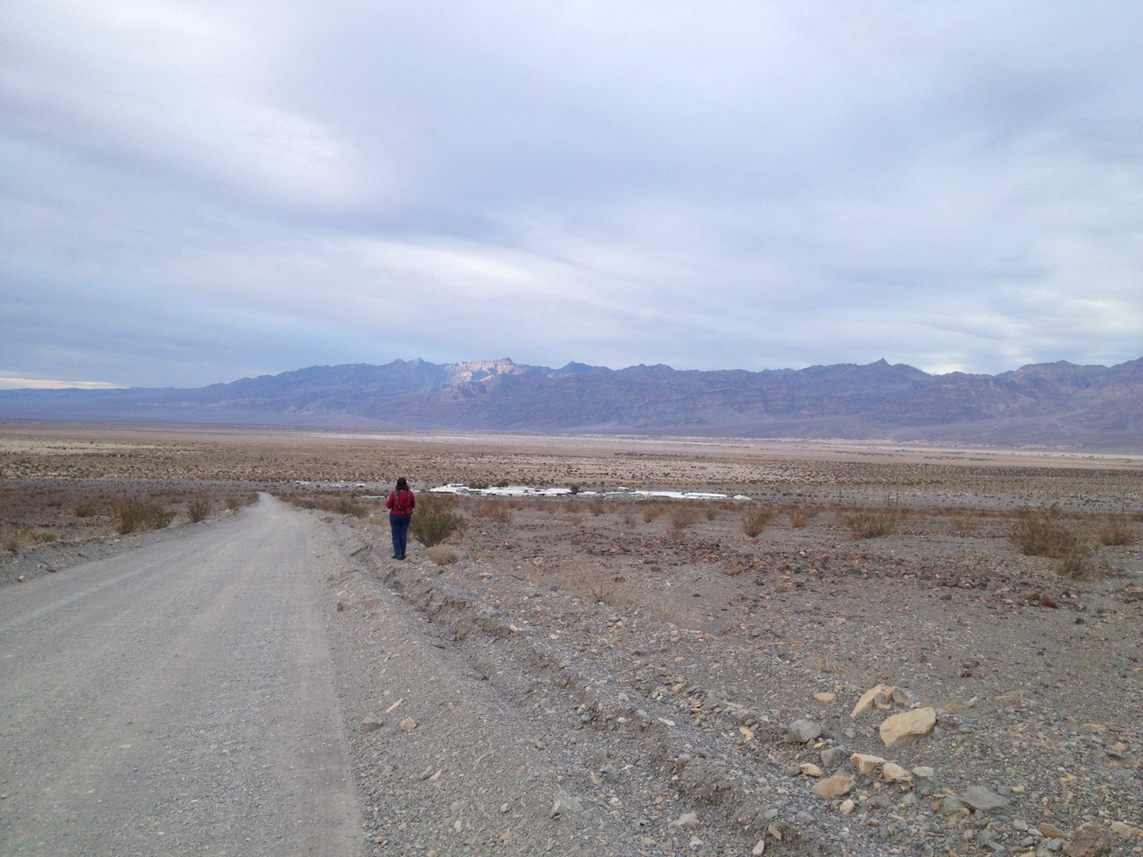
Here is Stovepipe Wells, a way station in the northwest area of Death Valley National Park. There is a rambling sort of motel with a bar and saloon attached, and across the street a general store with a gas station. There is also a camp ground, and a small, seldom-used airport beyond that.
Gas here is frighteningly expensive. Passing by Panamint Springs Resort I saw the gas listed as starting at $6—something a gallon. I think. Anyway, it was over $5. The gas station here does not have its prices listed, but I shudder to think what they are. With luck, I will not have to buy gas here: on Thursday we plan to drive out the other side of DV and stop in Beatty NV, where hopefully the gas is more reasonably priced.
Death Valley is very dry—as is to be expected. The dirt is find powder, mixed with stones. I can’t seem to get cold water from the tap here: it is either luke-warm or very hot.
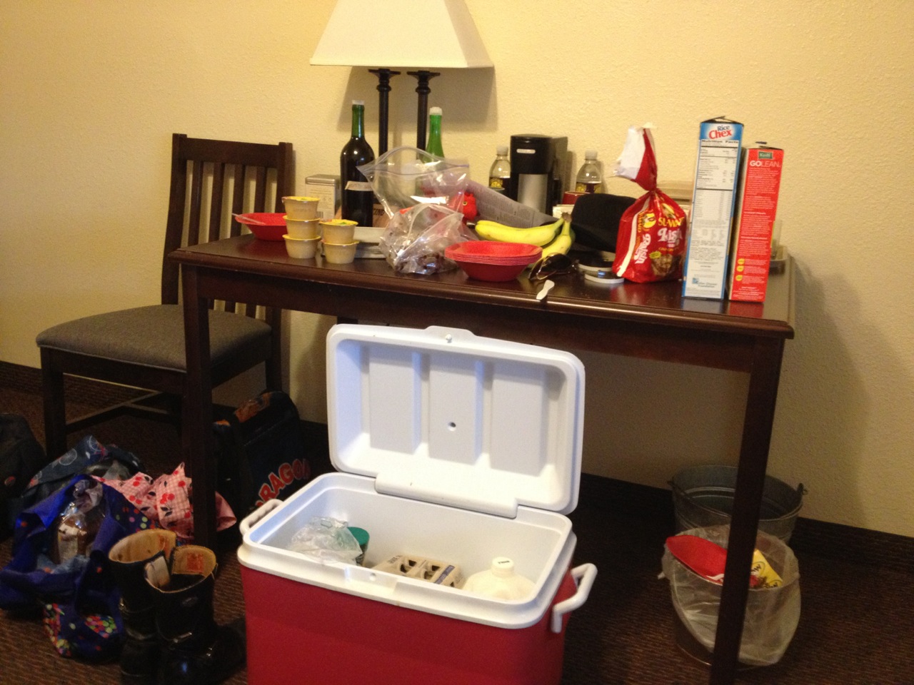
We are “camping out” in the hotel room. Food is also pricey here, so Rose has brought her hotplate and supplies of eggs, bacon and meat. I have bread, some veggies, and snacks of dry cereal and fruit. Also kefir. It has all been packed into Rose’s big cooler with lots of ice. We’ll see how long it lasts.
I brought my bicycle and tomorrow I am going to ride over to the bottom of Titus Canyon, and then see how far up it I get. I was warned at the ranger station that is is 1) very steep, and 2) very busy with traffic going the other way. So I will bring my lights, for visibility.
Rose is not up for very much biking, so after my ride we may take the car over to Furnace Creek and do some of the easy trails from there. Or stuff. And things. I will write of it whatever.
~G
2.5.2013
Goldeen Ogawa is an avid mountain biker, equestrian, whitewater guide, and all-around outdoorsy person who also writes stories and draws pictures. This week, she is posting notes from her trip to Death Valley National Park. You can email her about the things in your head at goldeenogawa@gmail.com or peck at her on Twitter @GrimbyTweets.