Or: A land of rock and wind.
Author’s Note:
This week I am sharing the notes I took on a recent trip to Death Valley National Park with my friend Rose. You can read my report from Day One here, and Day Three here.
Wednesday, February 6th 2013
I did not make it to Titus Canyon. I blame the wind.
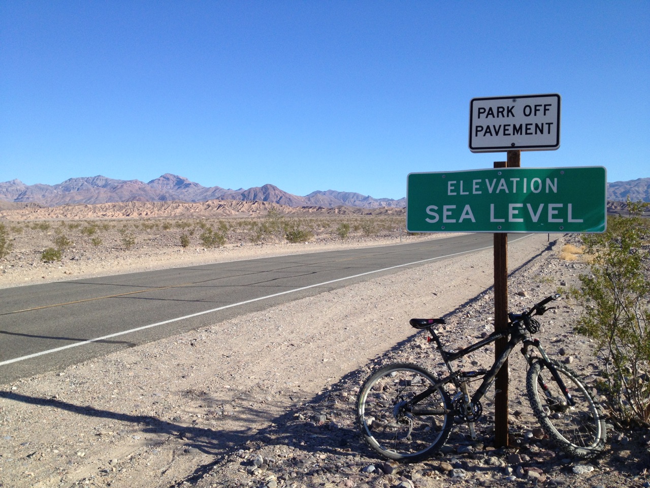
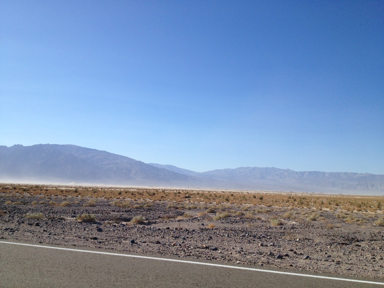
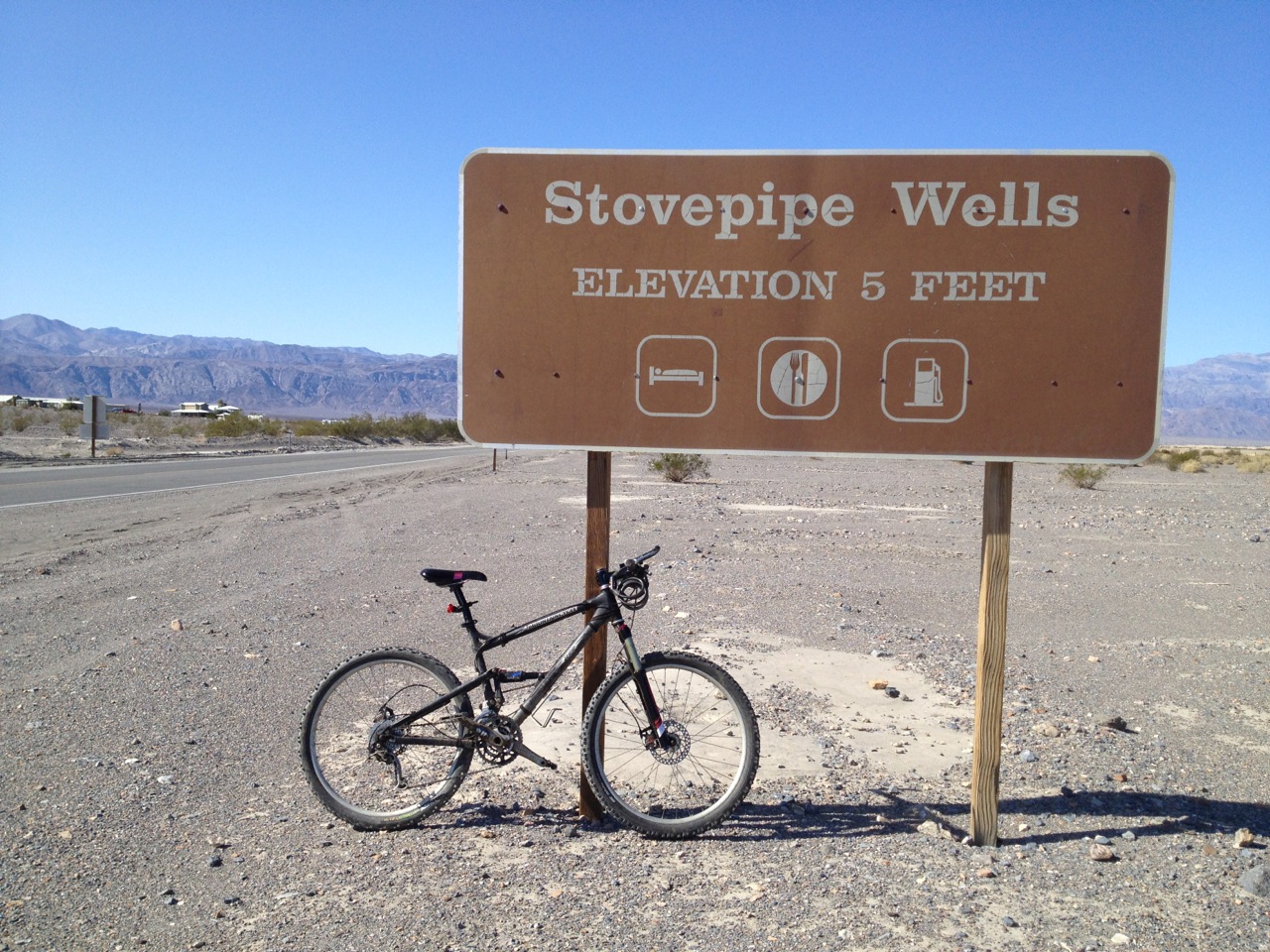
What happened was this: after a good breakfast of bacon, eggs, bread, kashi and kefir I left Stovepipe Wells on my bicycle and started the trek across the valley floor. At first it was marvelous: gently sloping, slightly downhill, with a weak tailwind. I made good time past the Mesquite Sand Dunes, even allowing for stops to take pictures. I crossed the bottom of the valley, through the Devil’s Corn Field, and then climbed the rise up to the junction with Scotty’s Castle Road. There I had to turn north—left—to begin making my way up the valley.
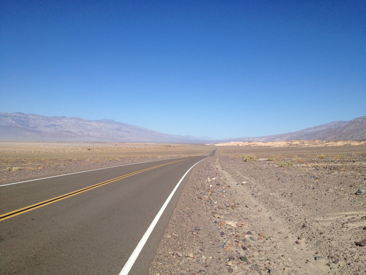
It felt like turning into a gale. Wind buffeted me, roaring in my ears and slowing me to a crawl. I was riding directly into its head, and on occasion it was so strong I felt like I would be blown backwards if I stopped pedaling. I had to pedal, too, even on the downhill stretches. Every time I stopped I became aware of just how strong the wind was; even standing still the wind whipped my hair back and roared in my ears.
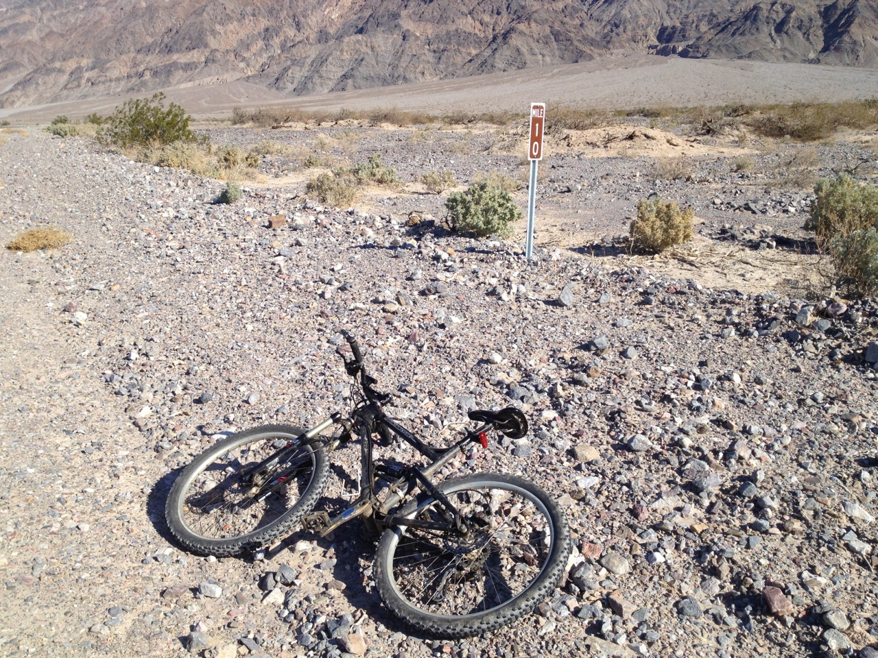
I kept going bravely for ten miles, at which point I gave up and turned around. I was tired and I did not think I could count on the wind to hold. I certainly did not want it to back around and trap me. Luckily it didn’t, and I got to enjoy ten miles of the strongest tailwind I’ve ever experienced. For bicyclists: the tail wind was so strong that, on some stretches, I was on my highest gears, spinning out, and getting hot—because even though I must have been going almost thirty miles per hour, so was all the air around me and was therefore offering no wind-cooling whatsoever.
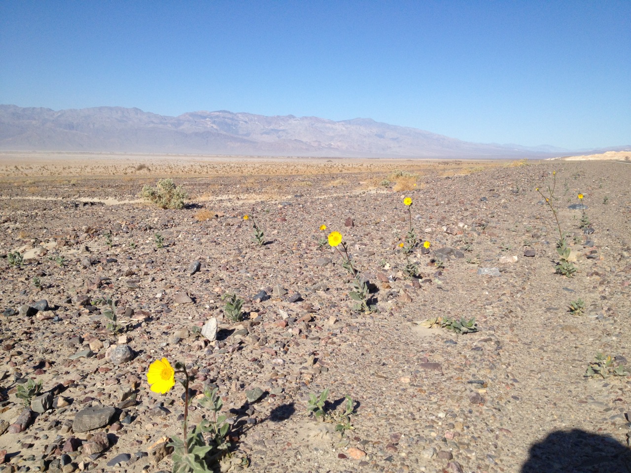
The ride, however, was spectacular. I really got to see the mountains, and the desert, the way the scenery slowly crept by, revealing range upon range or eroded sandstone cliffs. At the same time I became more aware of things close by: the cracked dried mud beside the road; the salt deposits, and the rare wildflowers.
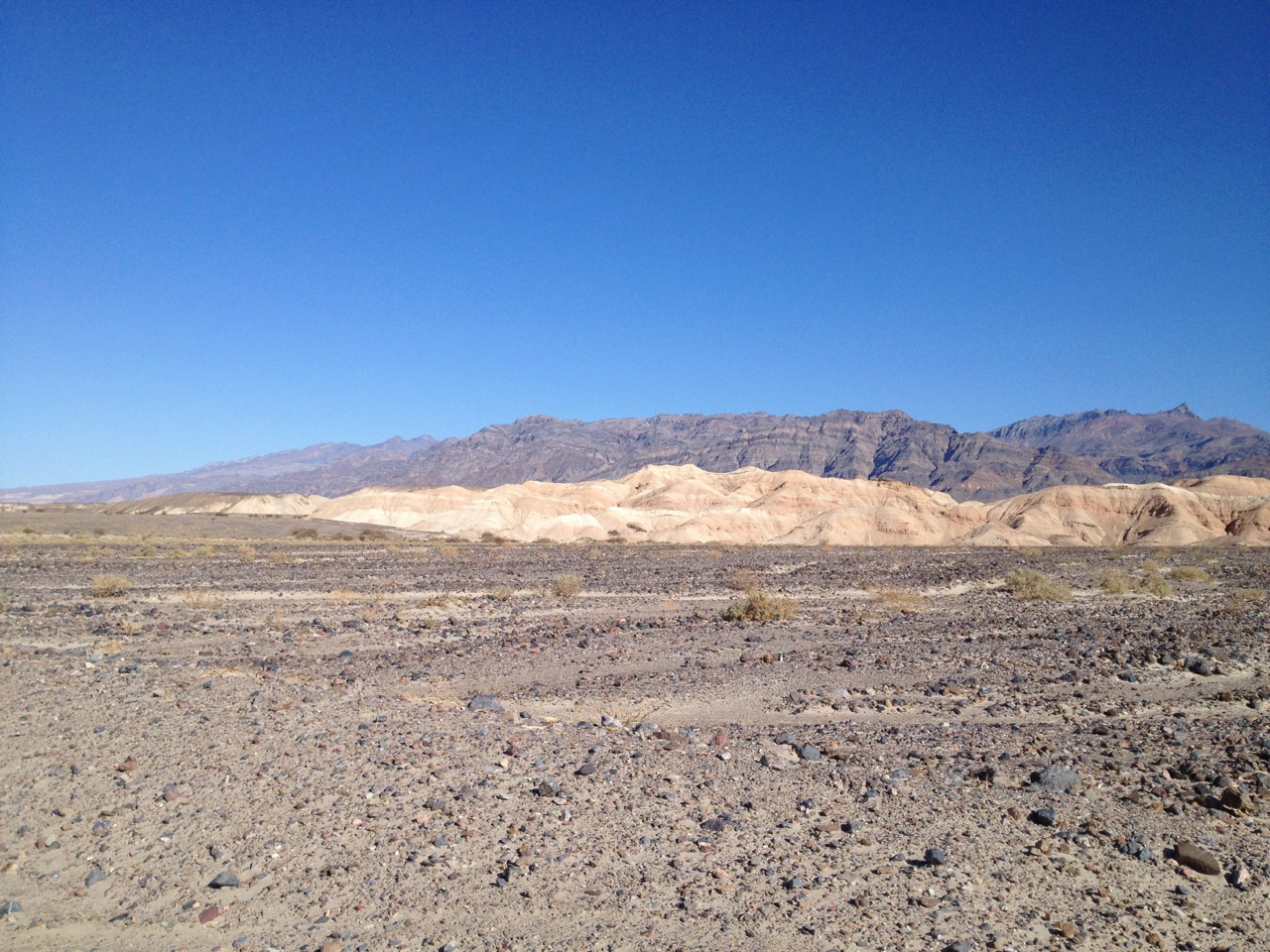
Riding north along Scotty’s Castle Road I passed by a string of salmon-colored cliffs, which came right down to the road’s edge in sweeping curves. I kept peering up into the canyons they revealed, half-expecting to see carvings of dragons or dinosaurs, like in Dinotopia, picked out in the rock.
After I turned west again, on my way home, I lost my tailwind and had to slog the last seven miles back to Stovepipe. It was strangely hard: all the vast, open distances are oddly taxing on my mind. In total I estimate I only biked thirty-six miles, yet I am both mentally and physically tired.
Rose was not in the room when I returned, so I lunched, showered, and was just setting up to do some drawing when she got back. After she ate we crossed the street to the general store in search of chocolate. It was more of a gift shop than a general store, but it did have chocolate. They had the usual T-shirts and mugs made in China, and a few rather beautiful stone-ware mugs and bowls, as well as medicine wheels and dream catchers. In the end, however, Rose and I just got chocolate.
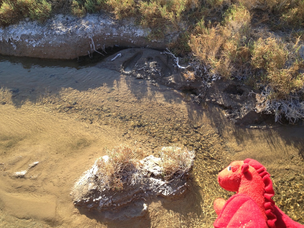
I broke down and took the car: it seems the way to get around DV. We drove out to the Salt Creek Interpretive Trail and walked around on the boardwalk. It is called Salt Creek because the water is more saline than seawater—due to the fact that it evaporates as it flows, leaving the salt and minerals behind. It is one of the habitats of the super-rare pupfish—though we didn’t see any. We did see lots of salt, though.
After that we drove on to Furnace Creek, where there is a proper visitor’s center and a Chevron (gas starting at $5.28 a gallon). I didn’t buy gas (I think I will have enough to get us to Beatty tomorrow), but we did go into the visitor’s center where Rose bought a mug, and I got a bandana with a topographical map of Death Valley printed on it. I also had cell phone reception, surprisingly, so I took advantage of it to call my mom, just for fun.
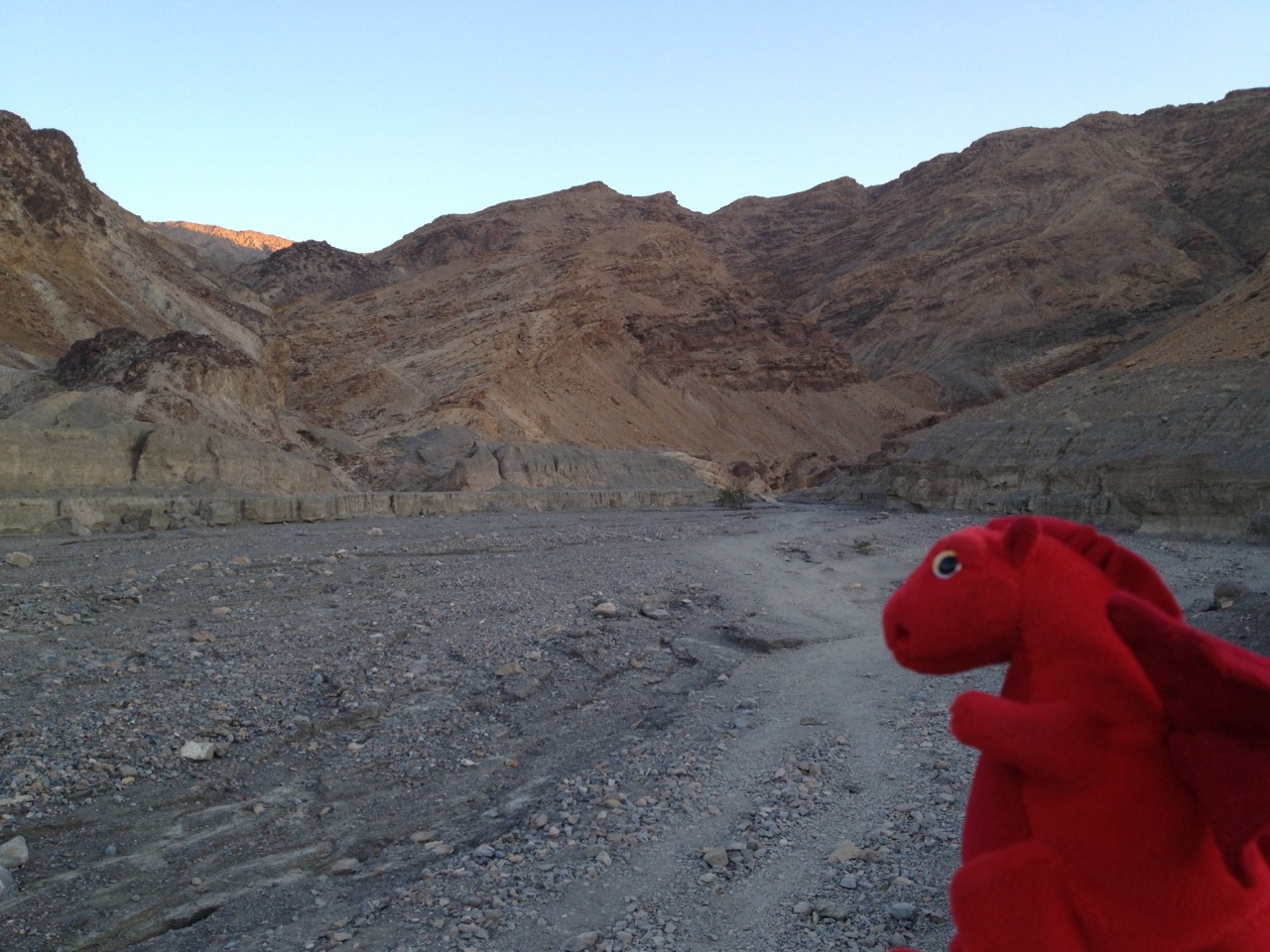
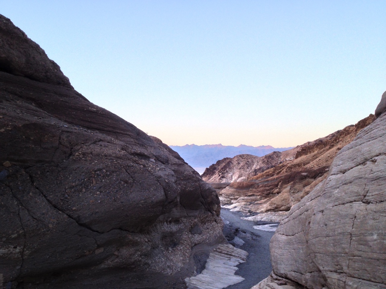
We then drove back to Stovepipe, and up the gravel road to the bottom of Mosaic Canyon, which I had wanted to bike up to yesterday evening, but Rose hadn’t been up for it. I think I will bike up there again tomorrow.
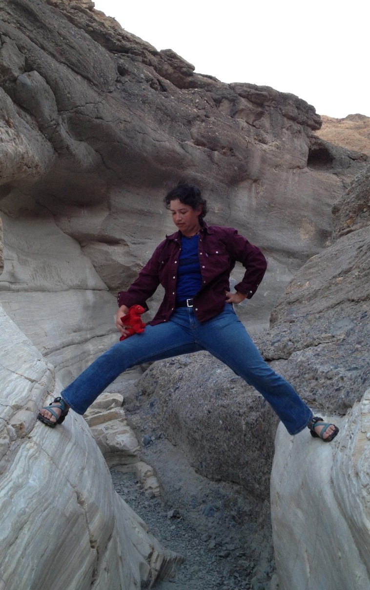
By this point my sandals were giving me sores and we were losing the light, so we didn’t hike up all the way. Still, it was a pleasant walk: the rock is all jumbled, mixed between cement-like amalgamations and smooth, polished sandstone. In some of the steeper places there are even grease-stains from where people have put their hands, just like in the Tower of Pisa. It looked, altogether, rather like Jawa country. I had fun climbing around on the walls of the canyon and taking silly pictures.
Tomorrow we drive out to Beatty, and then to the ghost town of Rhyolite. After which, if we have time, we’ll make the schlep back up north to Scotty’s Castle, which Rose wants to see, and then to Ubehebe Crater, which I want to see.
~G
2.7.2013
Goldeen Ogawa is an avid mountain biker, equestrian, whitewater guide, and all-around outdoorsy person who also writes stories and draws pictures. This week, she is posting notes from her trip to Death Valley National Park. You can email her about the things in your head at goldeenogawa@gmail.com or peck at her on Twitter @GrimbyTweets.